

At low tide, you can walk around the western end of Coney Island. There’s also a lot more of Coney Island Creek Park, seen here from adjoining Kaiser Park, at low tide. Those posts are part of the ferry dock that isn’t. There were a couple homeless people’s fires in the dunes, filling the air with smoke. The city park ends somewhere around the bend to the left and the private, gated community of Sea Gate (developed by the rising president of the Royal Baking Powder Co. after 1888) begins. At the end of the Coney Island Boardwalk, on the south side, there’s a fence and posted signs cutting off the beach. Private property, however, only extends to the mean high tide line. Anyway, the western end of the former island of rabbits turns out to be rip-rap bulkhead, and if I hadn’t seen a dog-walker go that way I might have turned back. It’s called Norton’s Point on old maps; I could not see the lighthouse from down on the beach. All the houses waiting for the sea to claim them are higher up. I cautiously scrambled over the seaweed-slick rocks until I hit sandy beach again. It wouldn’t have been passable at high water. A rusty bulkhead looks like it’s already a reminder of an ancient civilization. A number of beach-front homes looked abandoned, presumably whacked by Sandy and never repaired–but brand new follies are still being built.

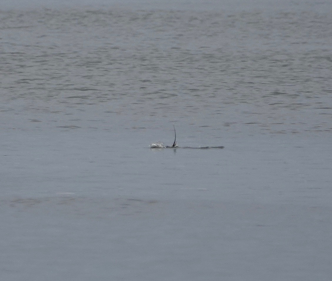
Long-tailed Duck diving.

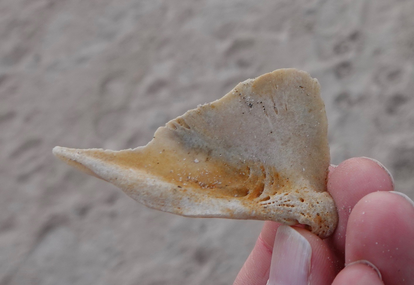
Strange bones.
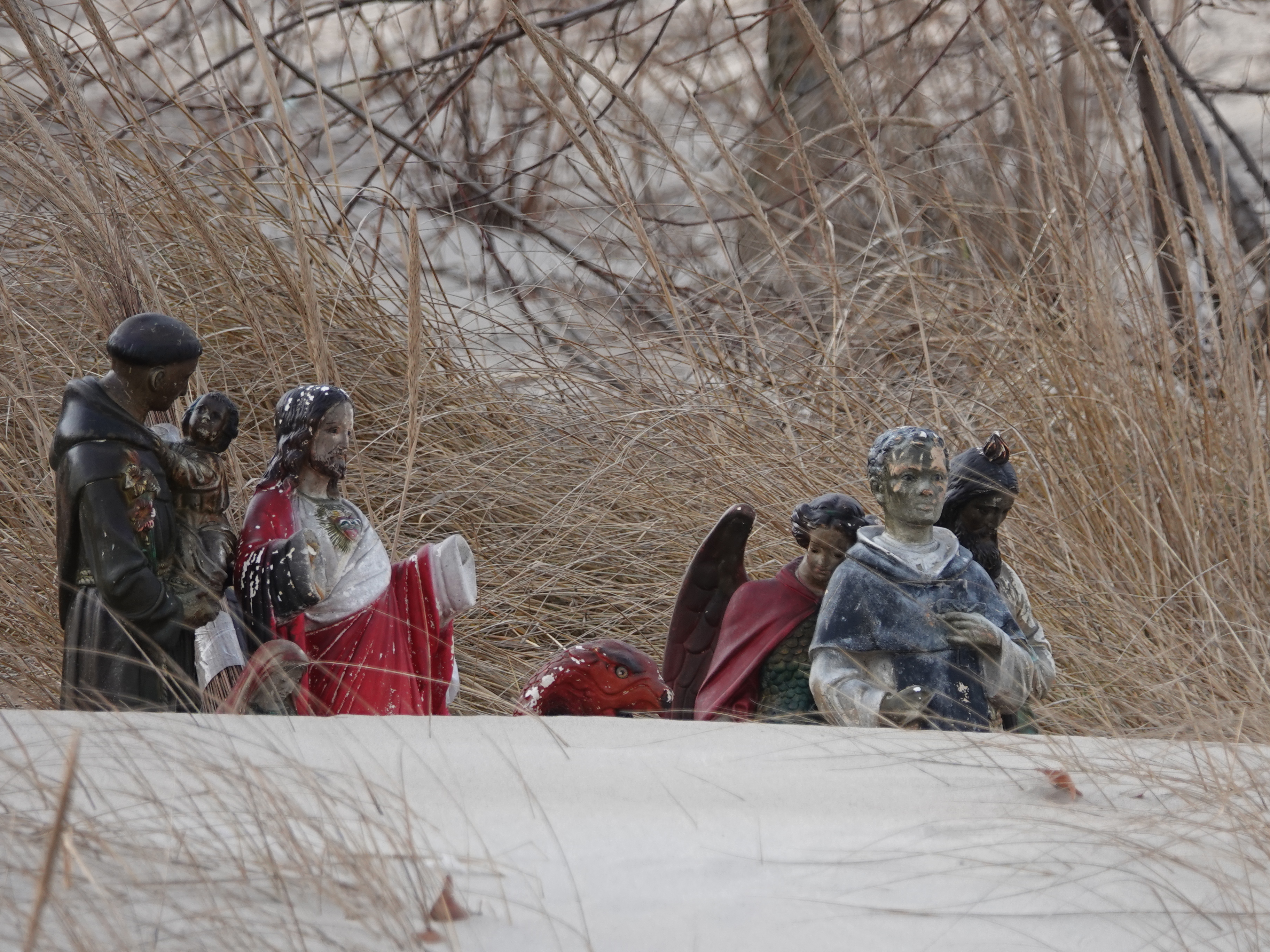
On the Creek side, I noticed this. I should have gone closer, because when I looked at this photo later I realized these were my people.
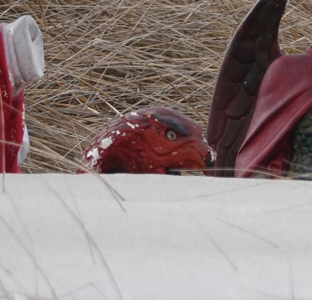
Raptor worshipers.

Leave a comment