I was surprised to see, on a large banner on Smith St., which pictured what was there before industrialization, the nearby body of water referred to as “Hudson Bay.” This would be the water ground water flowed to from the Gowanus creek and swamp and the “Woody Heights of Guana,” as the British called the Harbor Hill Moraine in 1776. But of course, that isn’t the Hudson Bay; Hudson, or Hudson’s, Bay is quite some distance to the north of us. Heading up the river Hudson wouldn’t get you there, nor even as far as the St. Lawrence, unless you continued over land; I’d recommend some guidance from the local voyageurs and coureur des bois as you get further north. Water in Brooklyn can only be said to flow thataway in the grand, global, hydrological scheme of things. Both Bay and River are named after Henry Hudson, who nosed into our river in 1609 and died somewhere in their Bay c. 1611 after being set adrift by mutineers.
What this well-meaning banner person meant was Upper New York Bay. It is separated from Lower New York Bay by the Narrows. Further out, flanked by the long coasts of New Jersey and Long Island, is the New York Bight. Through the Bight runs a submerged valley cut by the ancient precursor of the Hudson. When all that water was locked up in ice, the Atlantic coastline was a hundred miles further south.
On old maps, you’ll see that the Hudson is called the North River on the west side of Lower Manhattan, because it actually flows north-south there. Manhattan island is angled, oriented SW-NE, meaning that the standard “east west” compass points of direction on the island are a convention for ease of use. Stuyvesant Street in the East Village is the only east-west oriented street on the island.
I feel sad for people who think maps are ugly digital things that get them to a store.
One of the amazing things about NYC is that it is an archipelago, a city spread out on islands. Seventy-six of the over two thousand bridges in the city are over water. Only the Bronx is part of the mainland of North America. There is water in almost every direction.
The East River is of course not a river, but rather a tidal strait connecting the Bay and ocean with Long Island Sound. The tide rips up and down through it. Yesterday, the ice was flowing…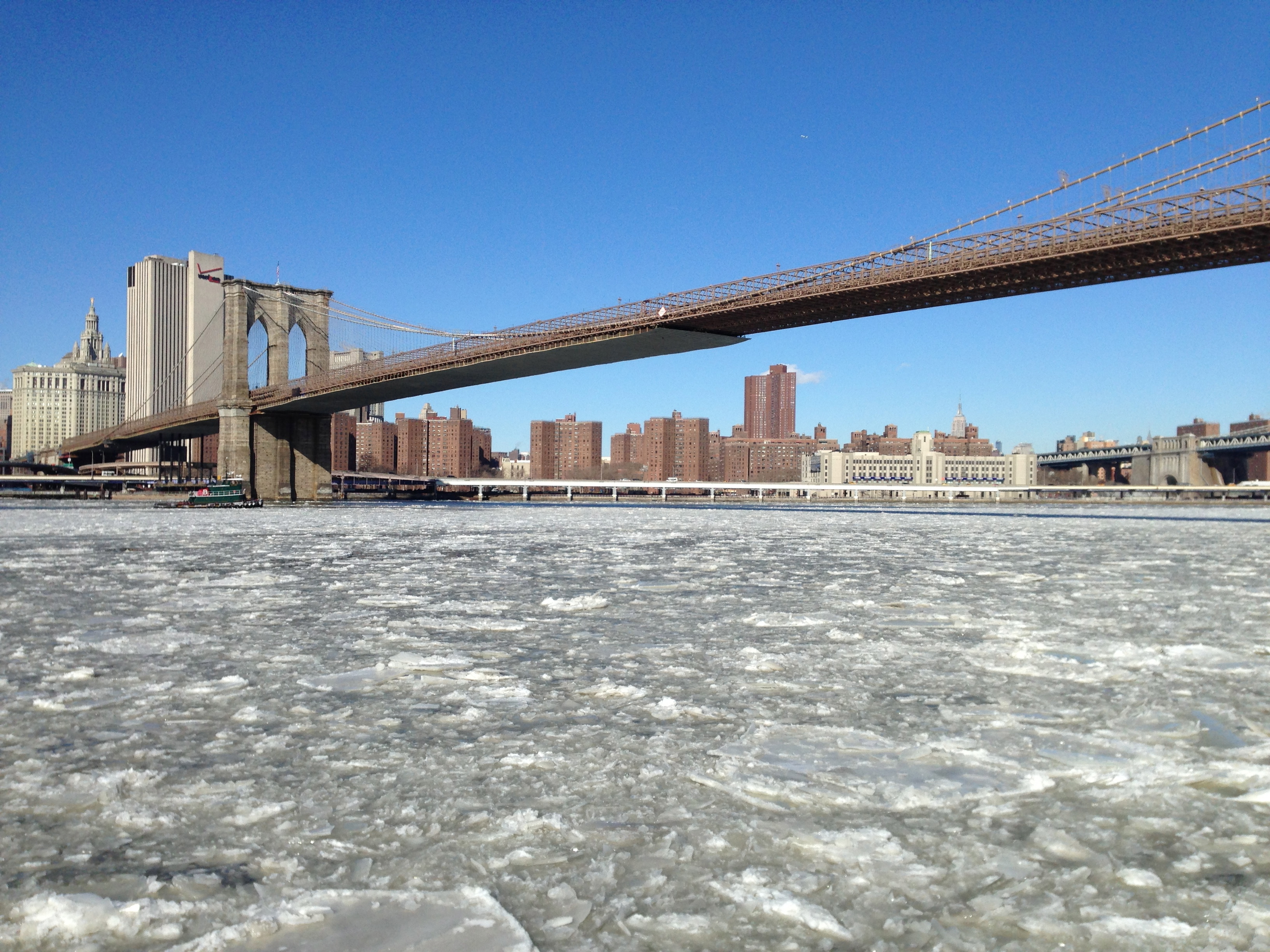

Leave a comment